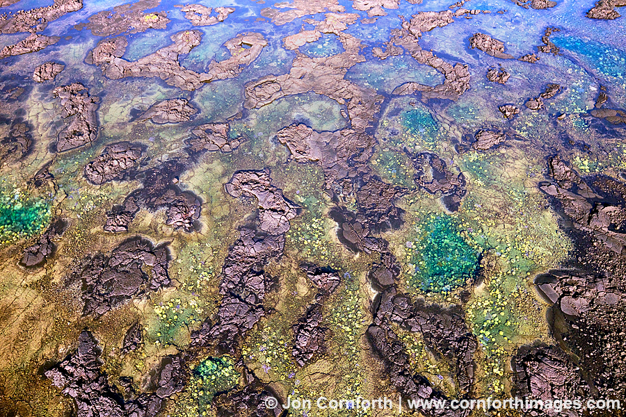
Kapoho Tidepools Aerial 1
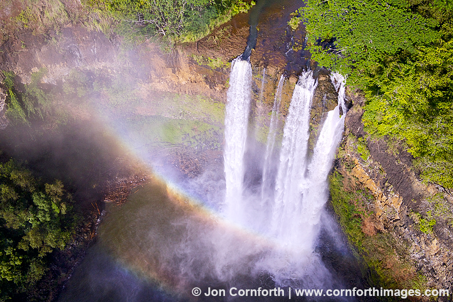
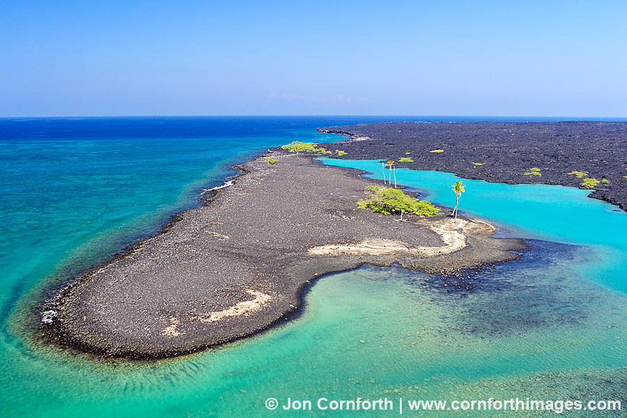
Posted onI just got back from another amazing trip to the Big Island of Hawaii. I was planning to spend most of my trip photographing humpback whales and also flying my remote controlled hexacopter. The whales and the weather mostly conspired against me, but my trip was long enough that I was able to take advantage of a few good days of weather between storms in order to fly my copter. This aerial image of the Kapoho tidepools is a beautiful example of the kind of abstract image that I have envisioned ever since I started flying copters. This intricate lava and coral reef system is located on the south end of the island in the Puna District. The interesting thing about an aerial image like this is that the scene looks better once the sun gets high enough in the sky to flood the terrain in high contrast light. I’m talking about the kind of light that would send a landscape photographer into a long diatribe about it being too harsh and unshootable.