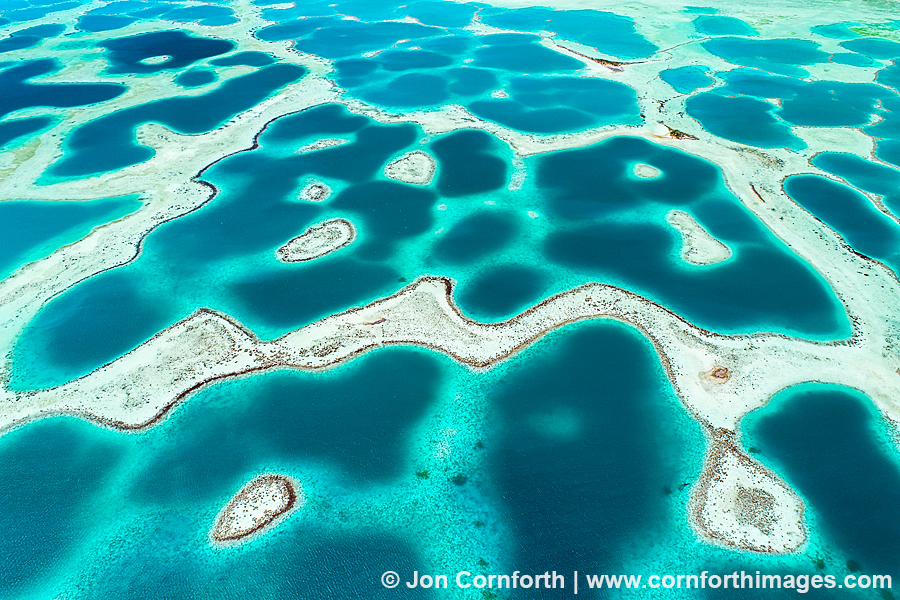
Mataiva Lagoon Aerial 1
Posted onIn December, I photographed French Polynesia for the first time. All I can say is, “WOW!” I have always dreamed of visiting remote islands in the South Pacific and have recently focused my photography ambitions on this area of the world. I began my adventure by flying to Tahiti and then up to the remote atoll of Mataiva in the Tuamotus. My main ambition was to fly my new DJI Phantom 4 Pro Obsidian over the incredible lagoon landscape that I had envisioned using Google Maps. Mataiva’s interior lagoon is composed of decaying coral morphed into linear rocky structures. Some of these coral structures peak above the surface, forming about 70 basins. The varying depths of these basins and the clear water gives the lagoon a blue and green tesselated appearance when viewed from above. I thought that it looked like a landscape photographer’s abstract fantasy. The challenges that I had to overcome to create this image were the strong winds and waiting for clear blue sky, because even the smallest clouds left dark shadows traversing across the scene. Mauruuru and enjoy.
